 Val d'Ay Tourist Office
Fun trail of "The legend of the Afars and the infinite rosary"
Lalouvesc
 Renaud Vezin
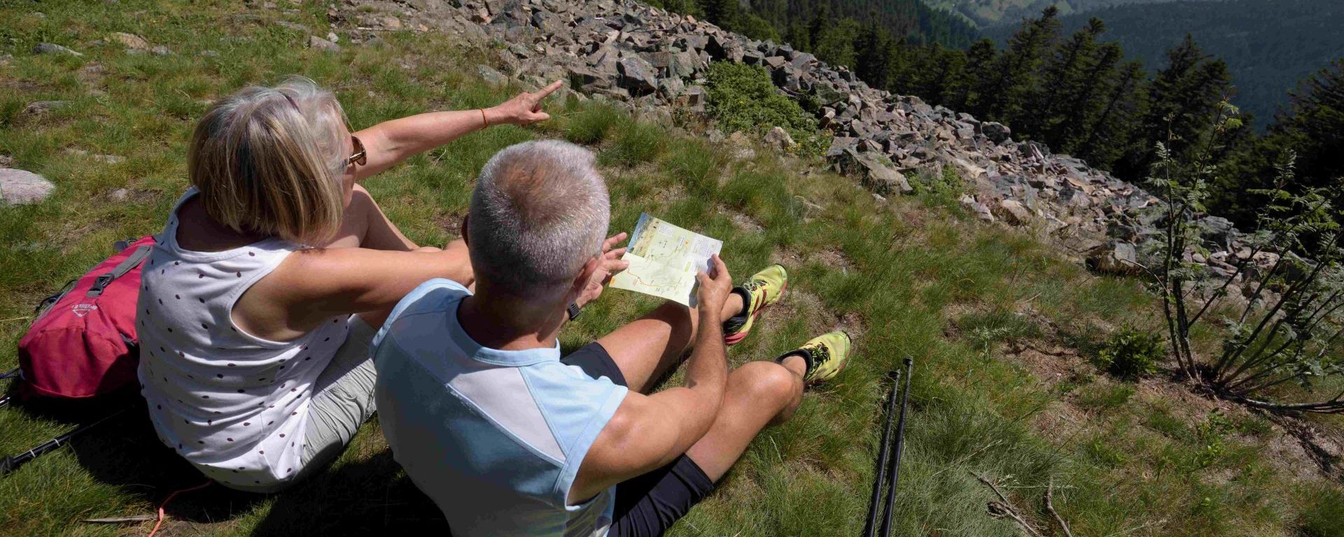
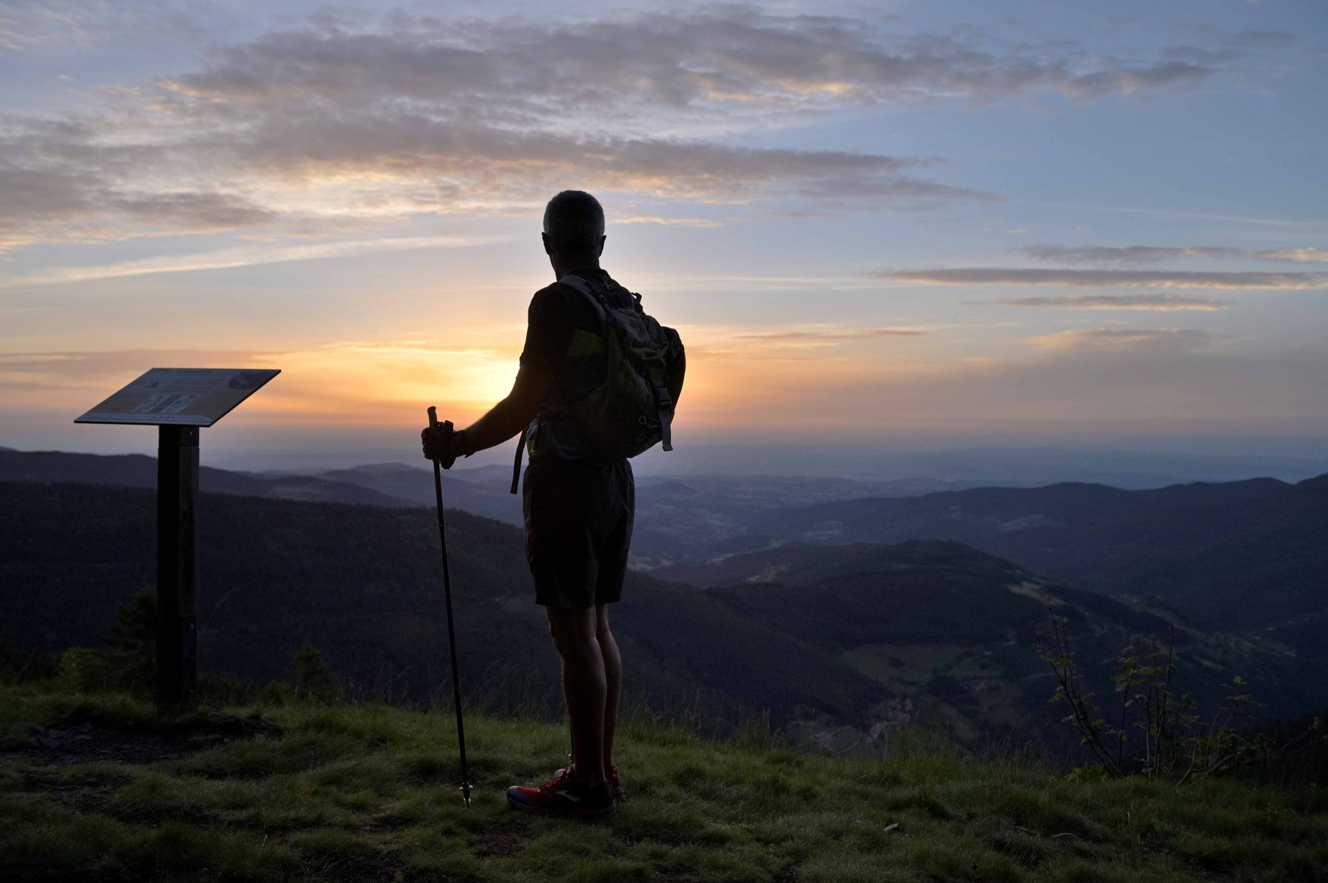
For those who don't have time to choose or for those who like recommendations favorites, here is our top 10 hikes that will make you love the Ardèche and its Grand Air. Little walkers and big hikers will find shoes to suit them with varied durations and landscapes.
 Severine Moulin
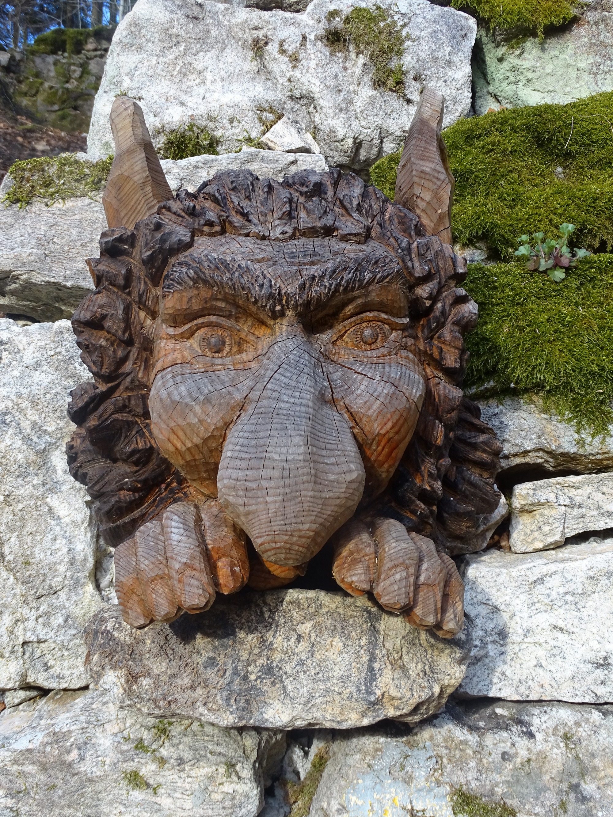
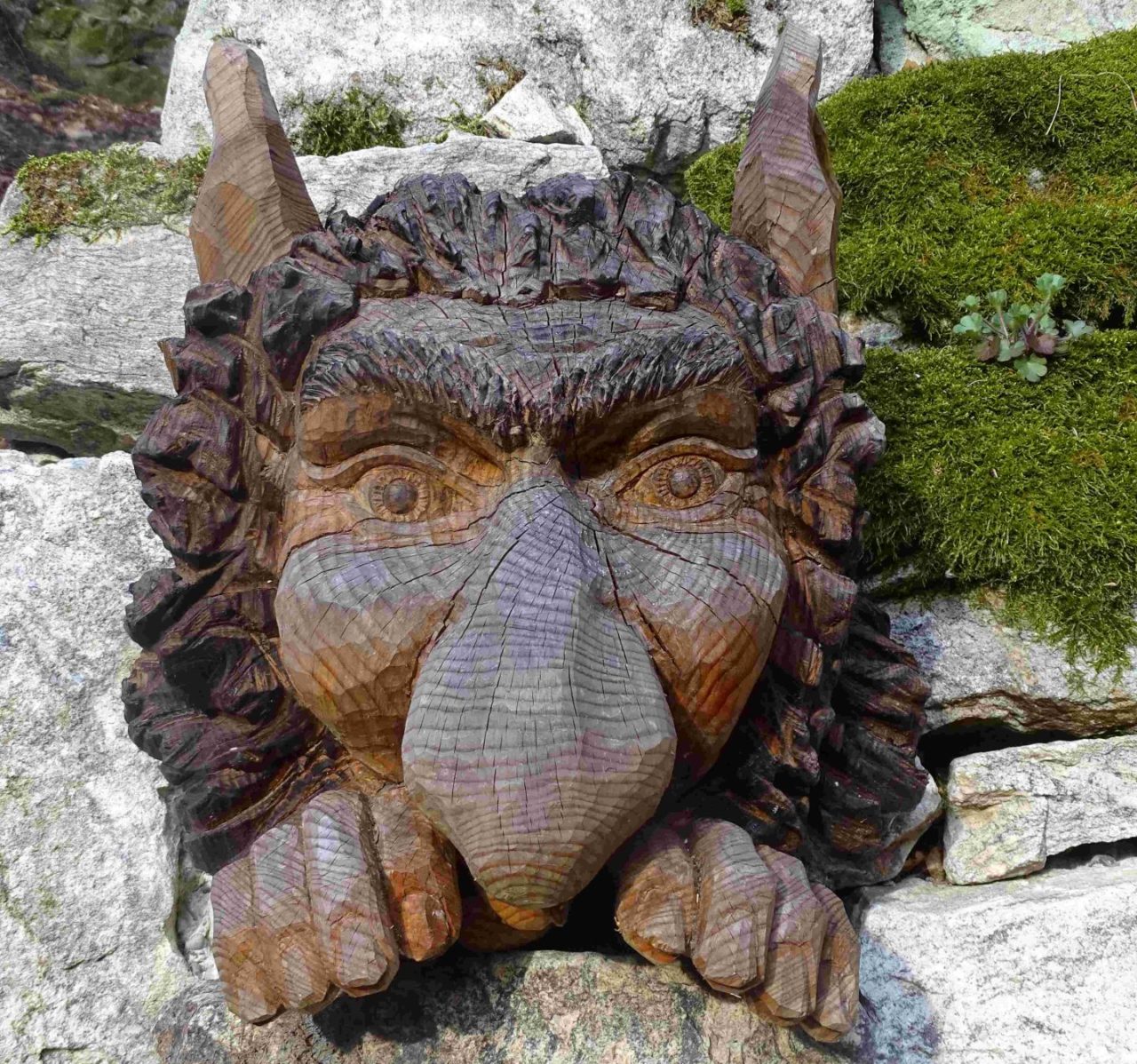
The Legend of the Afars and the Infinite Rosary
According to the legend of Haut Vivarais, little half-fairy, half-devil creatures hide along the streams. And if they show up! Beware of you because it is only to torment the inhabitants.
Go with the family in search of the Afars, these elves who inhabit the tales of northern Ardèche to discover the legend of the infinite rosary. Follow the wooden beads, they will lead you to their hiding place...
From Lalouvesc | Route guided by the Booklet on sale at the 2E Tourist Office | Picnic area
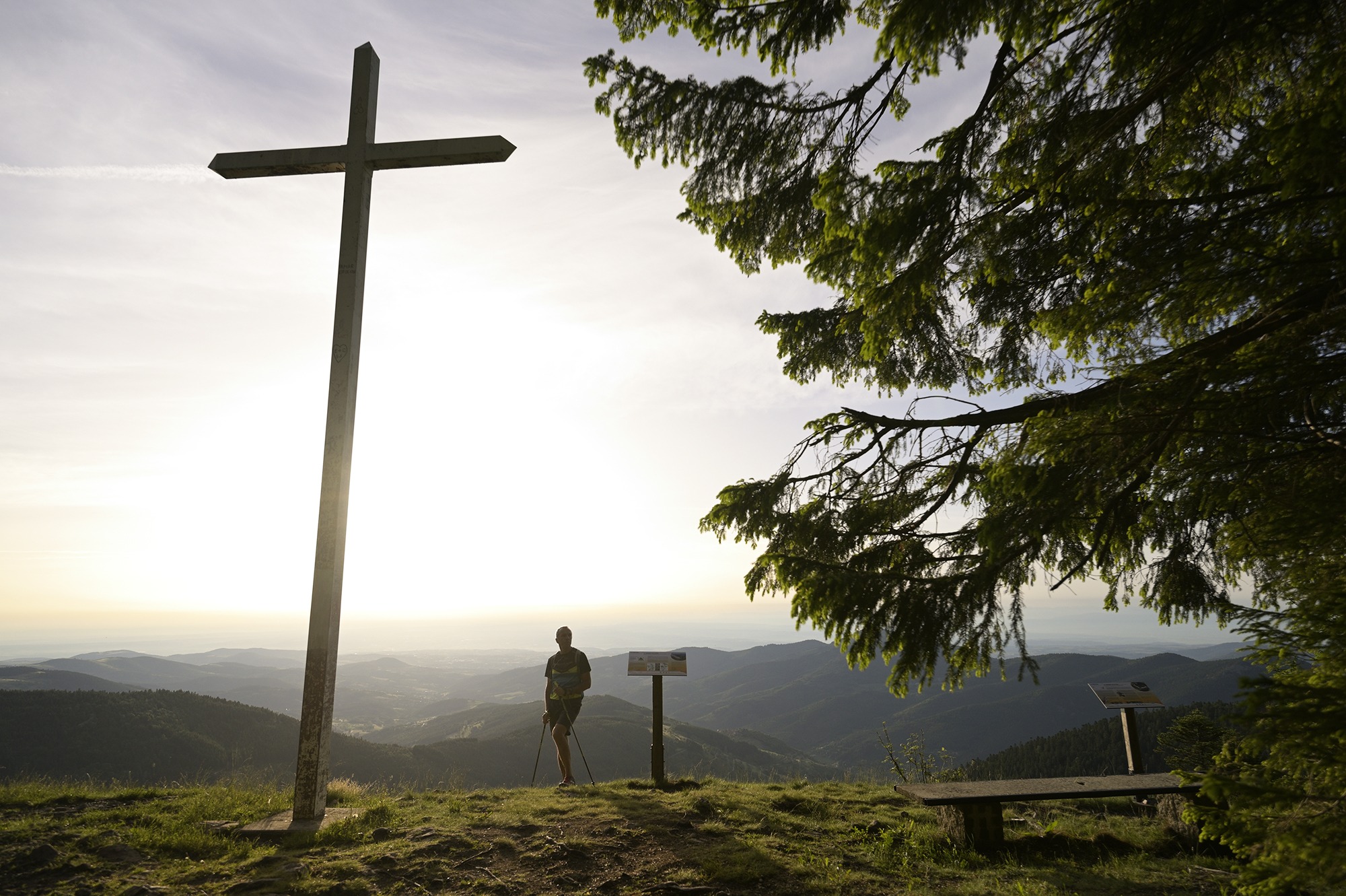
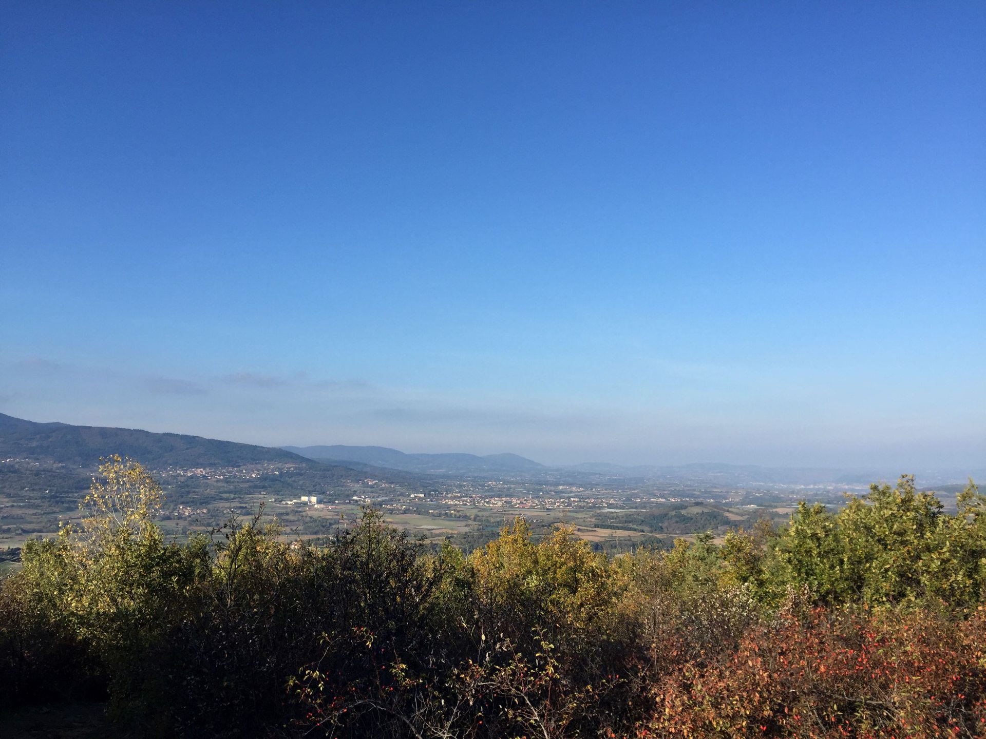
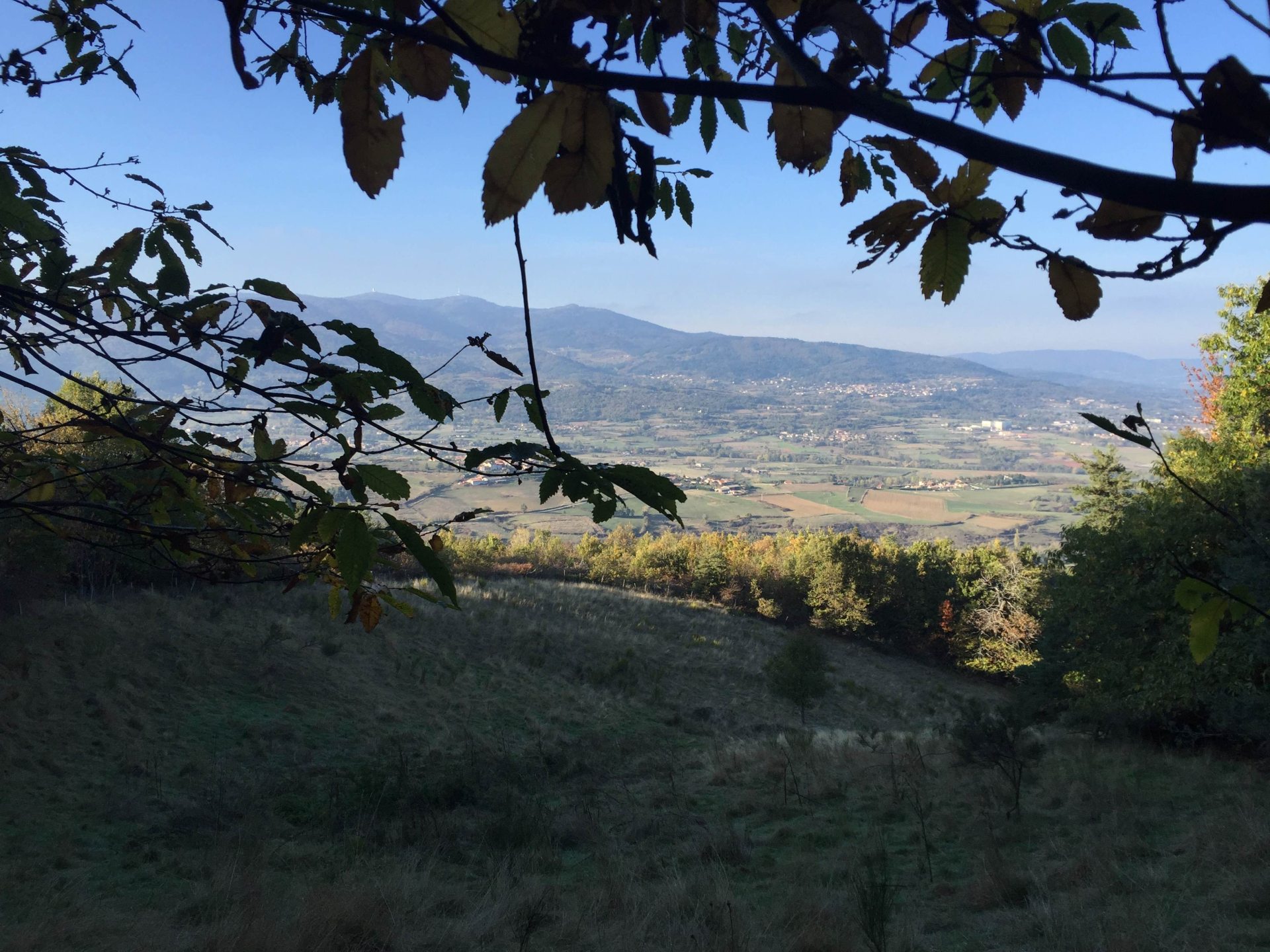
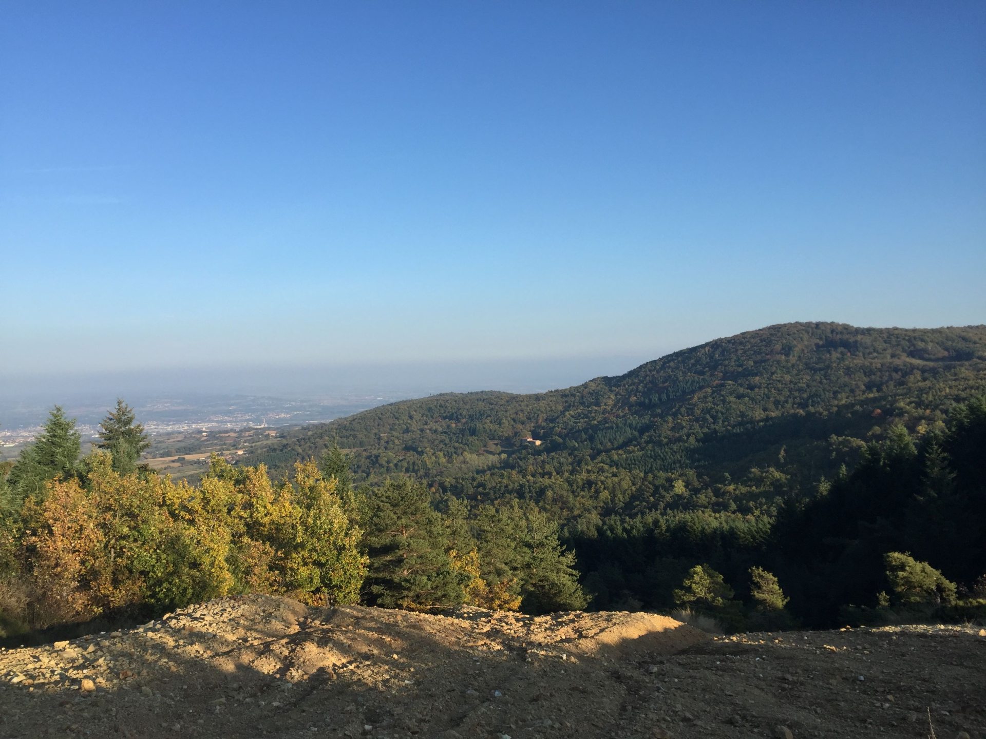
In a few kilometers and in the shade of high altitude undergrowth, treat yourself to the Grand Felletin, culminating at 1387 meters. There is a magnificent view of the Vocance Valley, the Rhône and the Alps on a clear day. The summit of Felletin is made up of rock flows from scree. This breakthrough in the forest is locally called stone chirat.
From Monestier | Go 5,2km | Duration: 1h30 | 150 meter vertical drop | Hike n°1 in the “Annonay-Serrières” topoguide on sale at the Ardèche Grand Air Tourist Office.
 Renaud Vezin
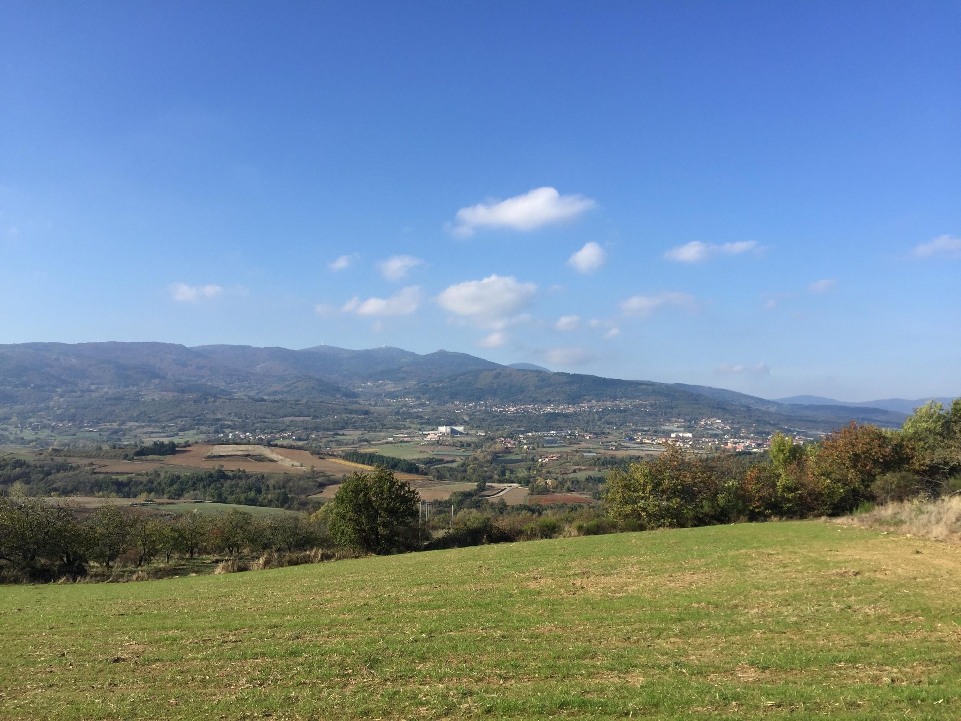
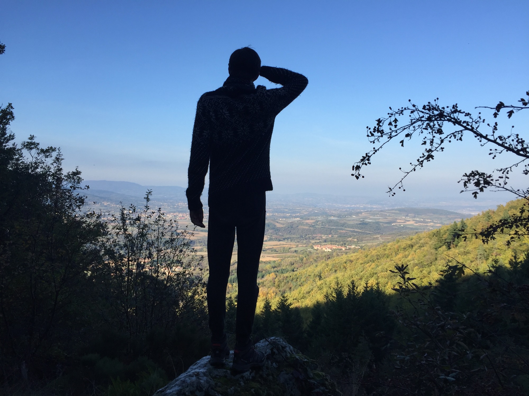
Put on your hiking shoes, head for the picturesque village of Vinzieux. During this hike, you can admire a range of viewpoints over the Pilat, the Deûme valley and finally the Alps. Overlooking the Bois de Sainte-Faline massif, the Col du Fayet culminates at 611 meters and offers a panoramic view of the Rhône Valley.
Leaving from Vinzieux | 11km loop | Duration: 3h30 | 355 vertical meters | Hike n°32 of the “Annonay-Serrières” topoguide
It is a natural forest fitted out with playful and athletic trails, a restful and revitalizing setting, dotted with illustrations of the surrounding fauna and flora.
Panoramic trail accessible to people with reduced mobility or honey trail with its wooden footbridges, this place of observation benefits from numerous facilities: picnic table, games for children and educational parking hive.
Saint Alban d'Ay labeled Terre de Jeux 2024 | Grandbeau Forest Sports Village Booklet
 Julie Little
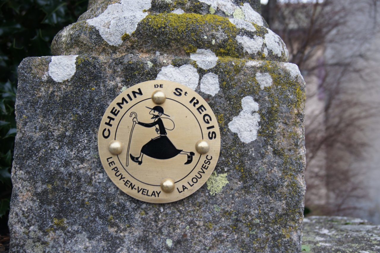
Hiking between high plateaus and large forests, the loop of 199 km can be covered in nine days and crosses the basin of the puy, volcanic plateau of Mézenc, Haut-Vivarais, the granite plateau of Montfaucon, and the Meygal massif.
From Lalouvesc | Total route of 201km | Duration: 9 days | Topoguide on sale at the Lalouvesc Tourist Office
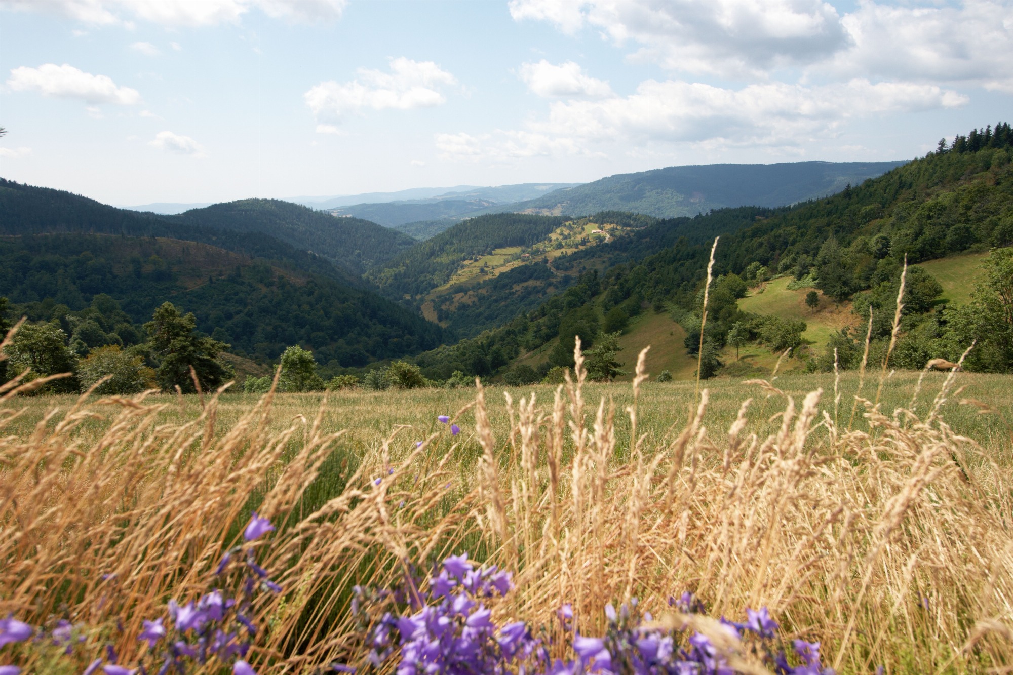
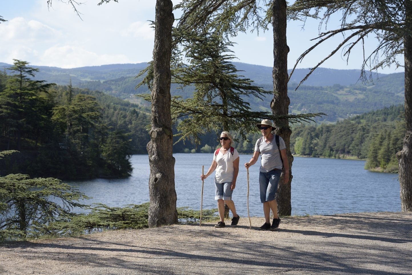
From the Maison du Garde, on the edge of the Ternay dam, this circuit takes you to the shade of the cedars of Lebanon for an easy hike where peace and calm reign. Pretty viewpoints are to be discovered from the southern flank of the Crêt de Pierre Bertrand.
Leaving from Saint-Marcel-lès-Annonay | 6.9km loop | Duration: 2h | 130 vertical meters | Hike n°12 of the “Annonay-Serrières” topoguide
 Lucile Ortega
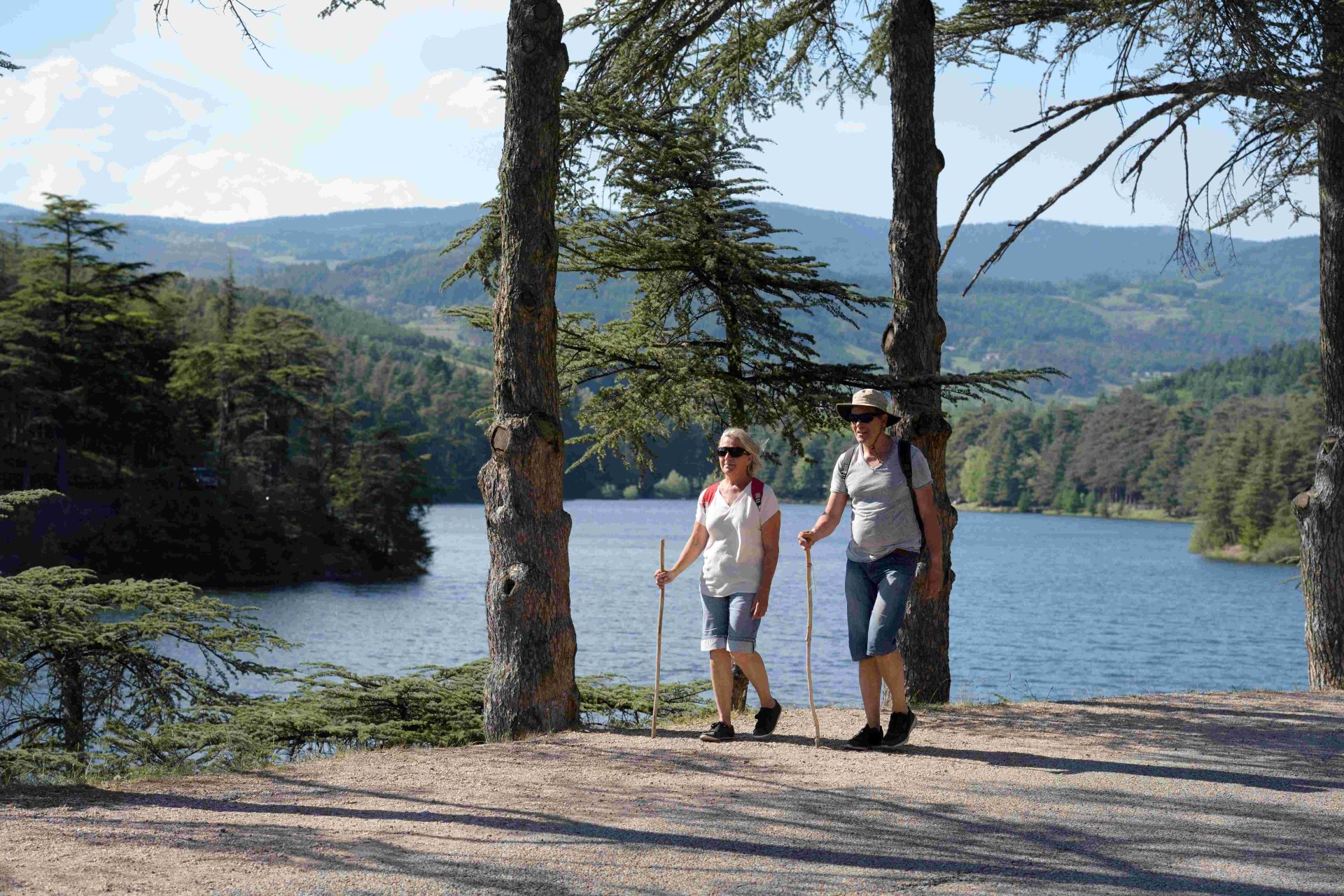 Renaud Vezin
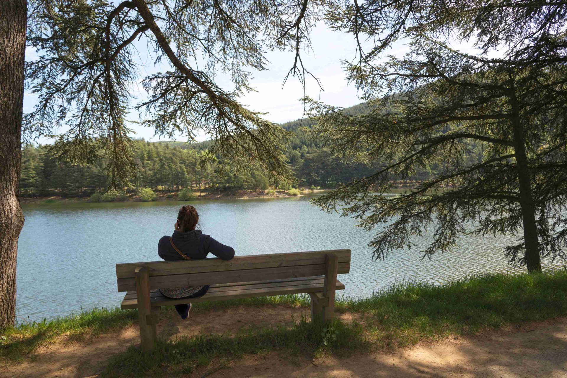 Lucile Ortega
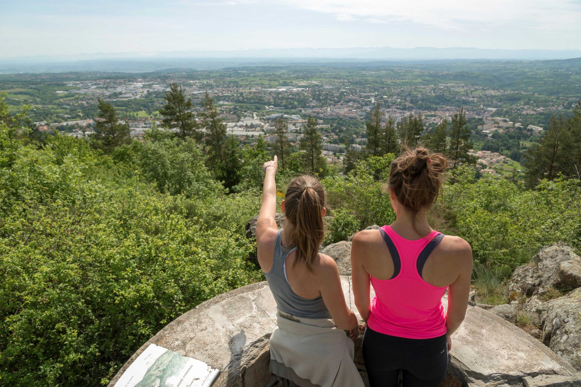 Lucile Ortega
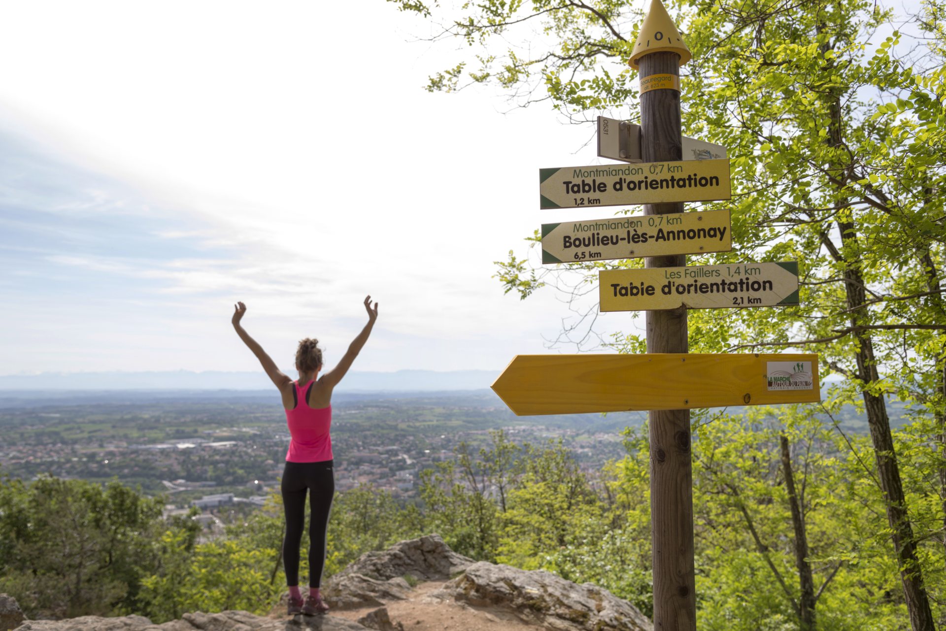 Lucile Ortega
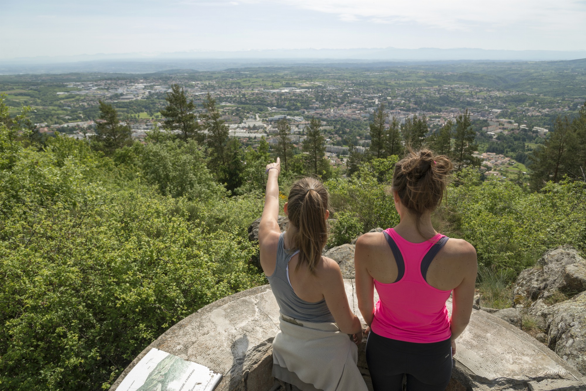
Overlooking the city, this pleasant hike allows you to enjoy calm and welcoming nature and a wide panorama in complete peace of mind. The Montmiandon dominates the city at 679 meters above sea level. From this point, there is an unobstructed view of the Annonean basin, the Rhône valley, the Vercors and the Alps.
Leaving from Annonay | 8km | Duration: 2h30 | 305 vertical meters | Hike n°15 of the “Annonay-Serrières” topoguide
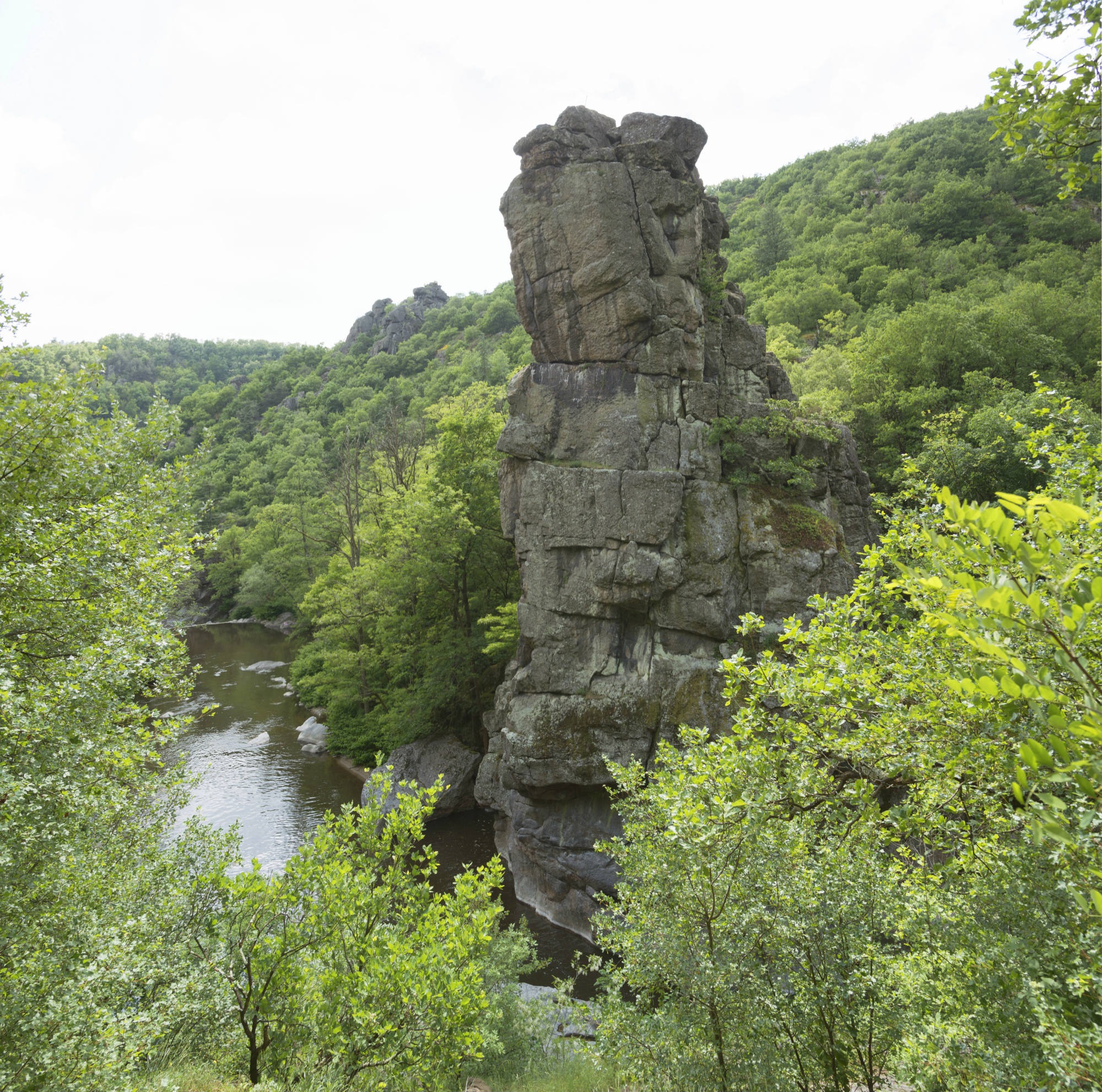
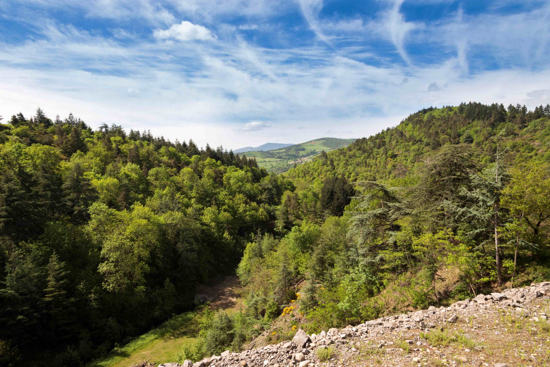
Go down to find the freshness of the wild and natural Cance valley. On your way, you can admire the Marc Seguin bridge, a work that attests to the genius of the inventor of suspension bridges. Further on stands in front of you the majestic Roche Péréandre whose legend is still told today.
According to legend…
André, a fisherman, dived into the Cance, under the imposing rock, to look for treasure. He found a cave, but the water of the Cance suddenly rose. He then found himself stuck for three days in this cave and without finding any treasure! When he was finally able to return home, he interrupted his own funeral wake, his family believing him to be dead. He threw himself on the meal prepared by his relatives and died of having eaten too much. The name of Péréandre was then given to the rock where André perished.
Leaving from Vernosc-lès-Annonay | 6km loop | Duration: 2h | 160 vertical meters | Hike n°8 of the “Annonay-Serrières” topoguide
 Renaud Vezin
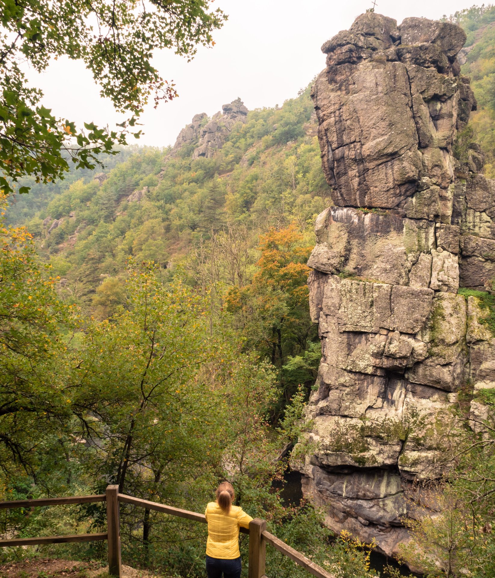
 Benoit Collaudin
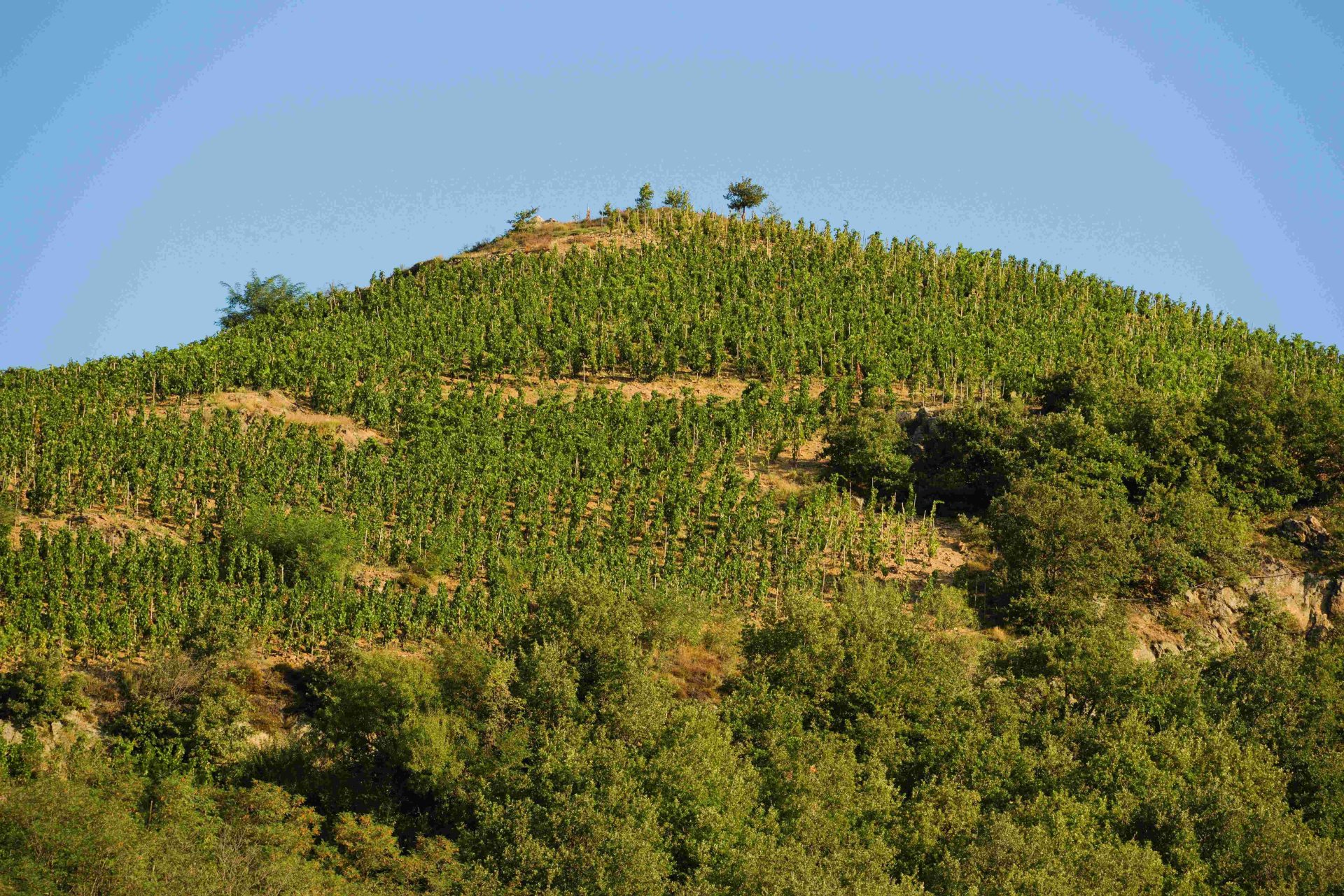 Renaud Vezin
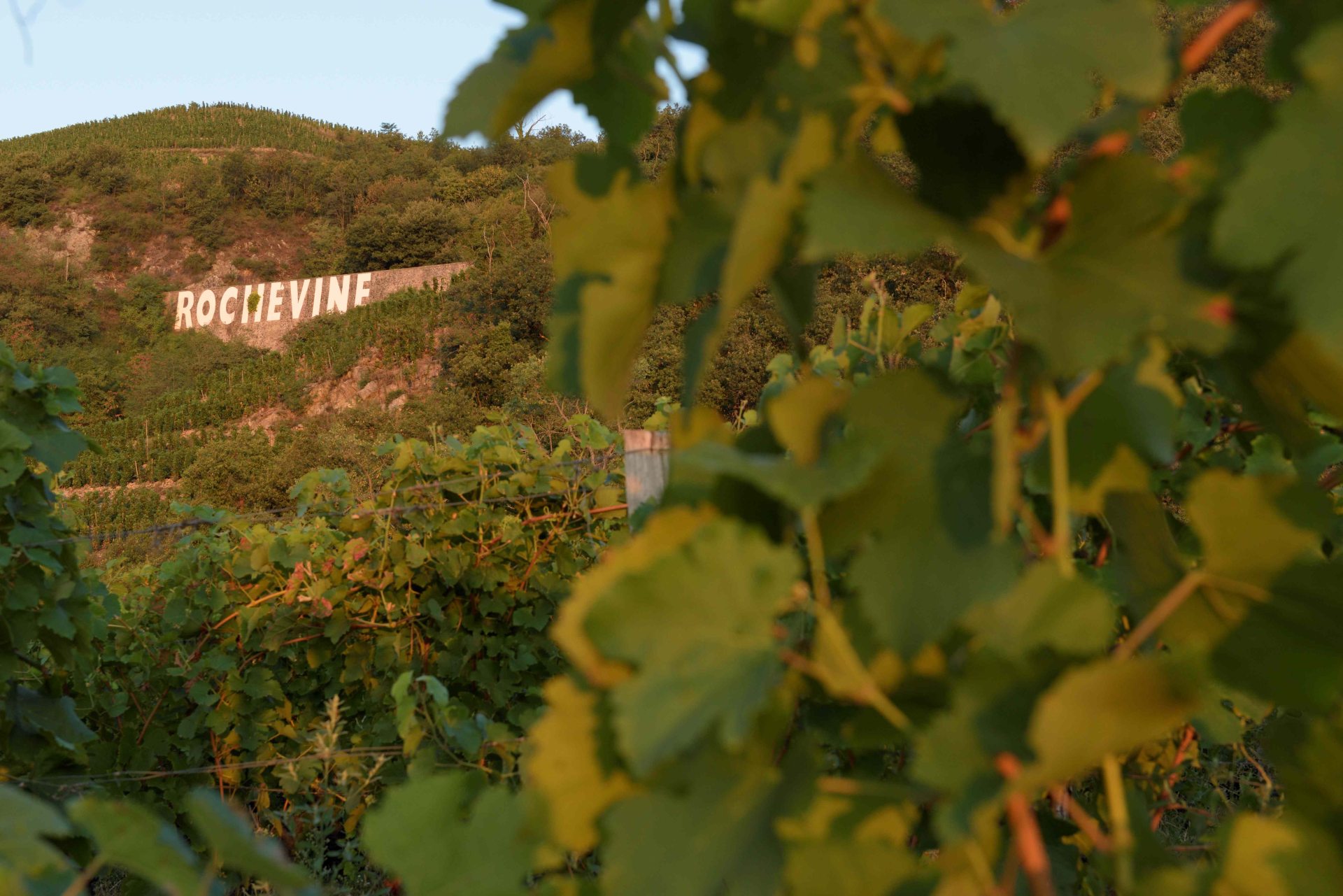 Renaud Vezin
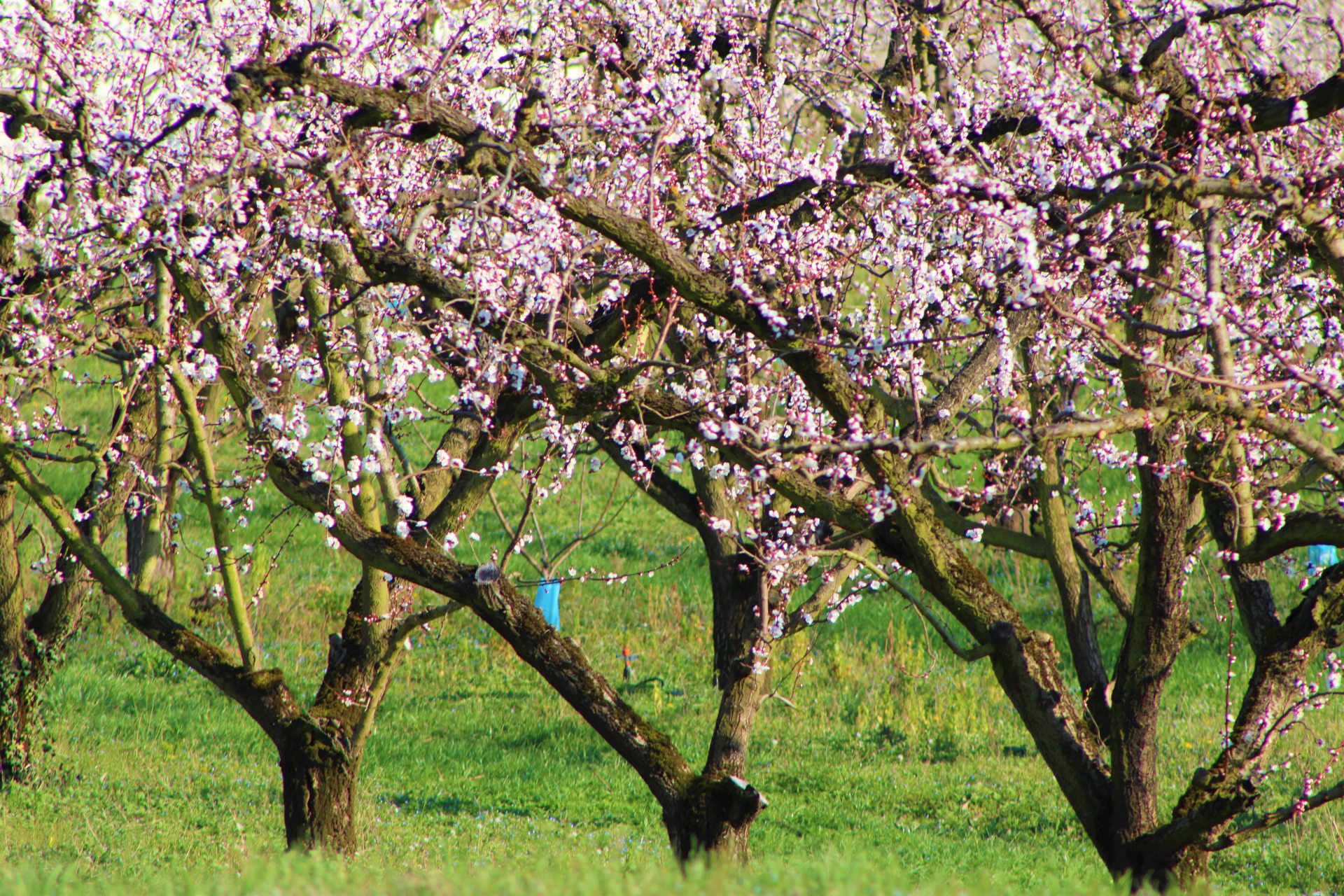 Benoit Collaudin
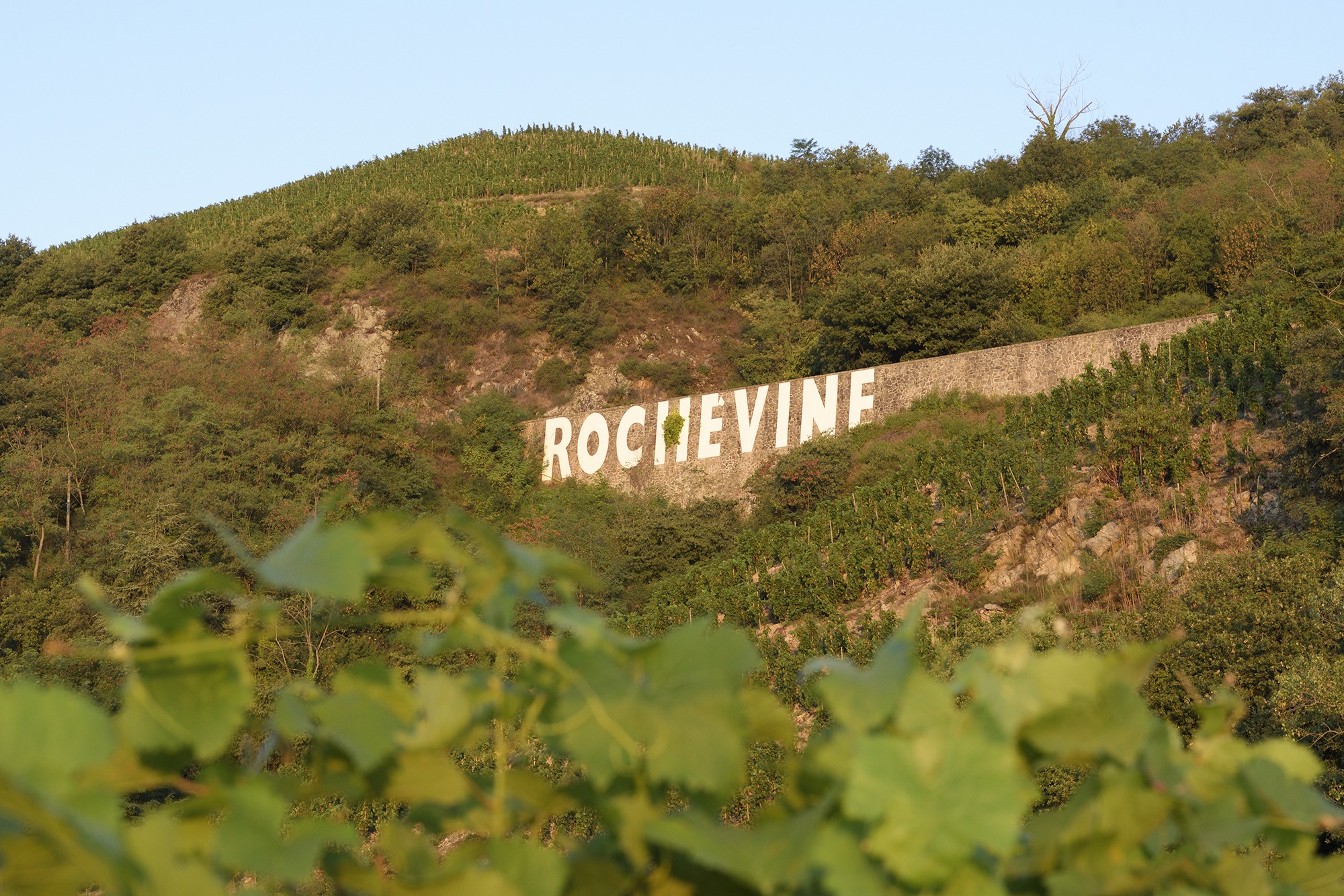
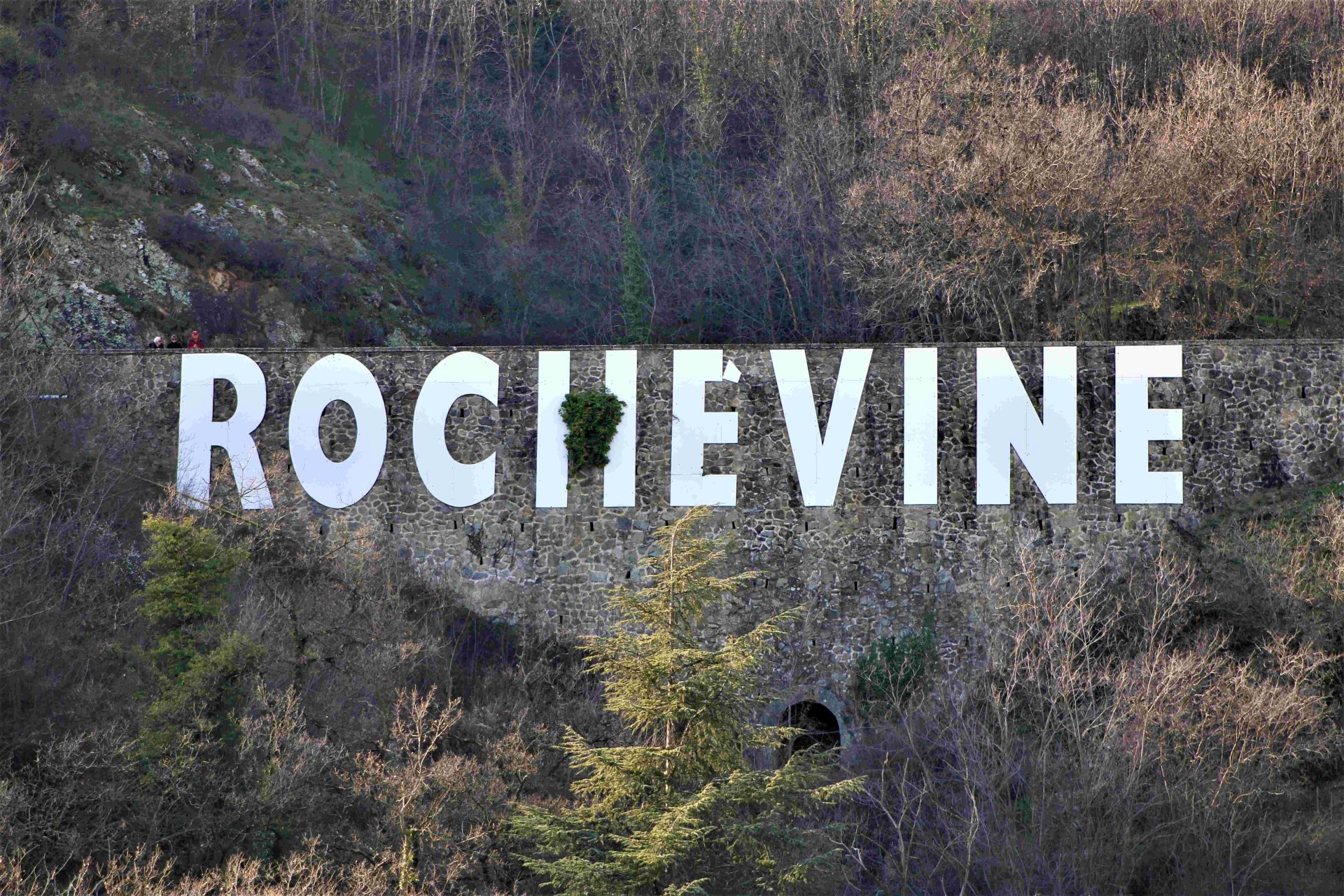
Immersion in the heart of the steep vineyard of Rochevine during this hike whose views of the Rhône and the terraced vineyards are breathtaking. On your way, take the discovery trail of the Domaine de Rochevine. Interspersed with ten stages, you will discover the history of the cellar and the vineyard.
Leaving from Saint-Désirat | 7.8km loop | Duration: 2h30 | 255 vertical meters | Hike n°14 of the “Annonay-Serrières” topoguide
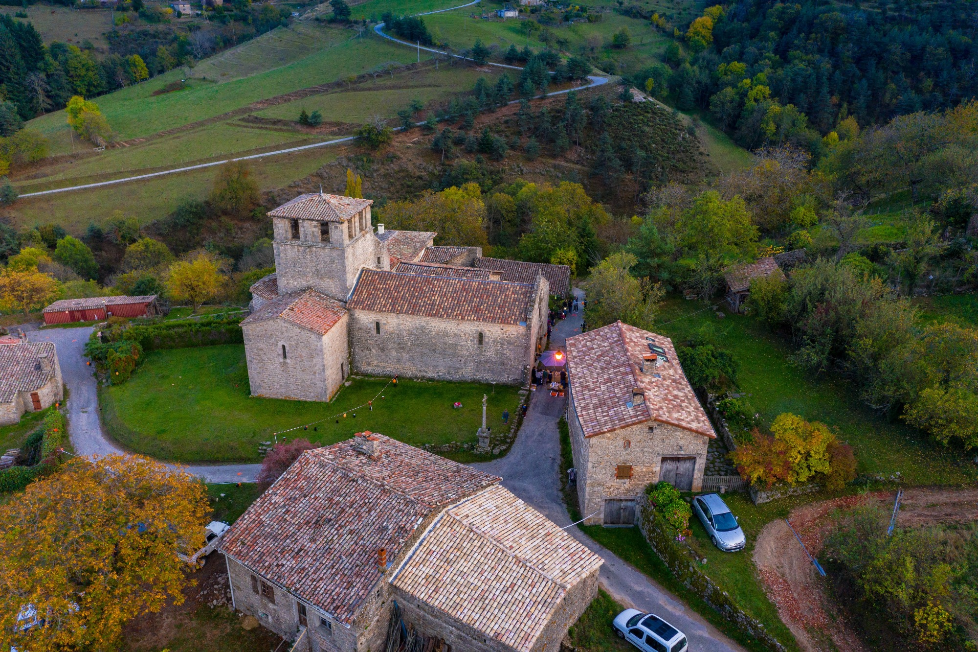
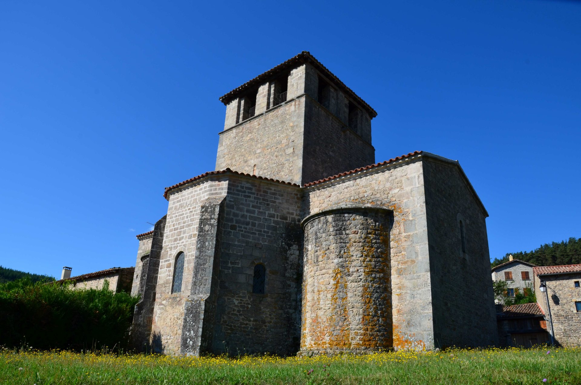
A 14 km loop classified as medium difficulty which surveys the reliefs of Satillieu and leads us to Veyrines. The XNUMXth century Romanesque church, listed as a historical monument, is a marvel of architectural purity. A plague cross with characters typical of the region is visible on the outside. At Marcel's house you may have the opportunity to meet the Haubergier, craftsman of authentic chain mail, medieval trip guaranteed!
Departure from Satillieu | 14km | Hikes and walks in Ardèche Verte Guidebook and Church of Veyrines booklet on sale at the Tourist Office | 04 75 67 84 20
Find the cultural activities on the site
 Marinette Piaugeard
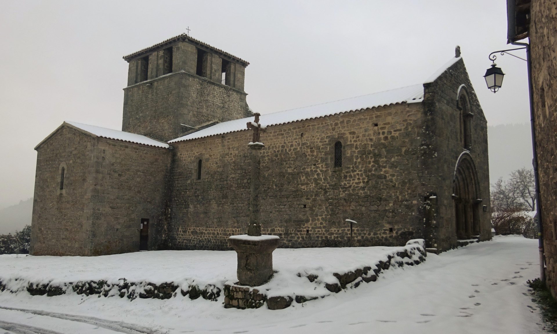 Peter KRAUZE