 ©Cloé Barjon
Clos and Wines
Serrieres
For 1.8km, Via Fluvia markings – 5m difference in altitude.
DEPARTURE :
- In Serrières (quai Jules Roche Sud), in front of the Tourism Pavilion
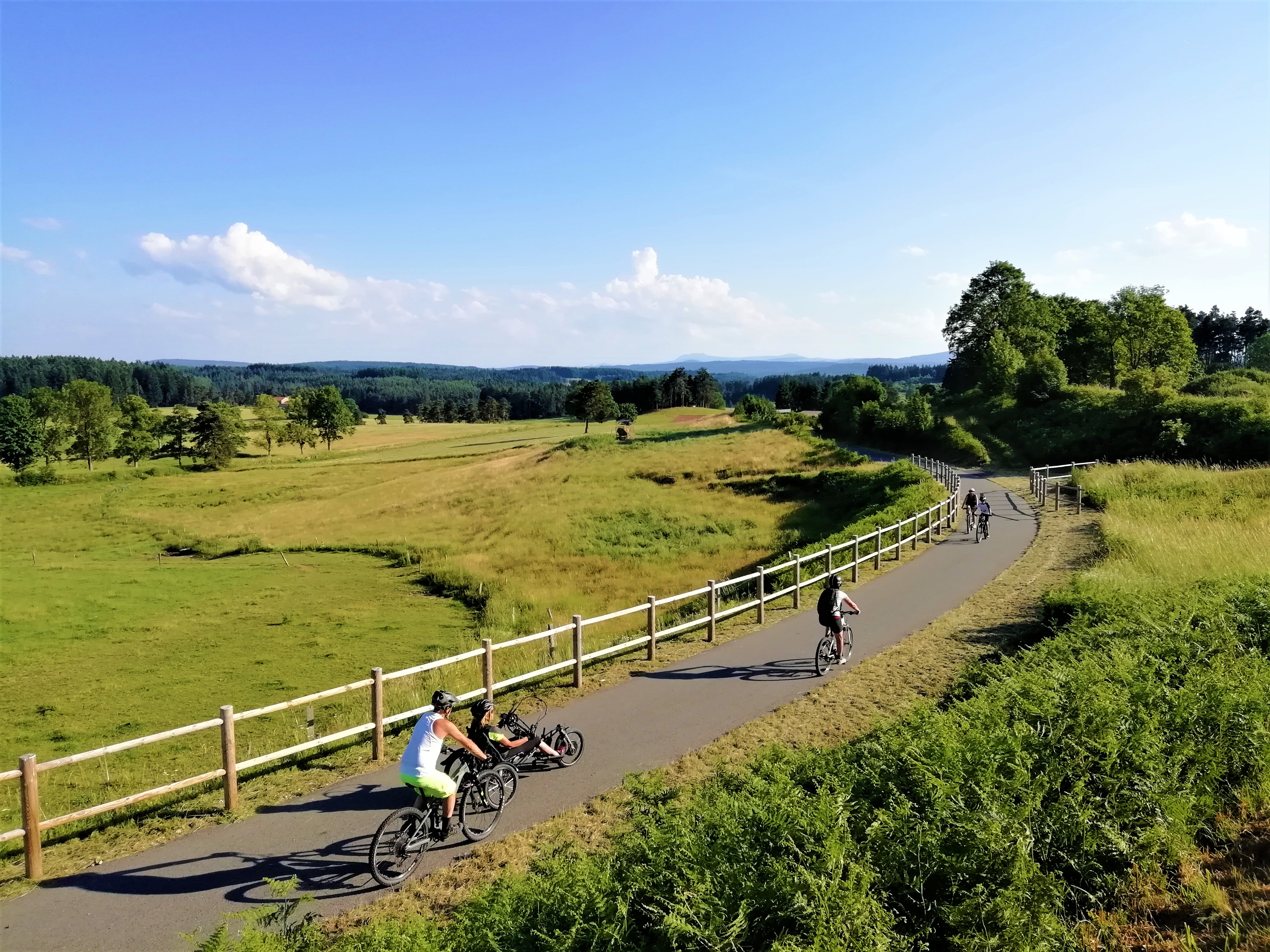
Departing from Serrières, you will start with a portion of the cycle route (shared route) for a few hundred meters which will take you on a dedicated route to the Chemin du Rhône. The ideal route to escape to the banks of the Rhône in just a few pedal strokes!
Our favorites….
- The southern quay of Serrières
- The banks of the Rhône
Take a break !
A reception area on this portion:
- Serrières, quai Jules Roche: water point, WC and picnic tables
Type : Marked round trip
Distance : 1.8km
Elevation : 5m
If you leave from the town center of Serrières, here are the directions to take: - Quai Jules Roche Sud - Chemin du Rhône After 1.8km, the route is no longer signposted Via Fluvia, but you can continue towards Champagne following the direction of the banks of the Rhône.
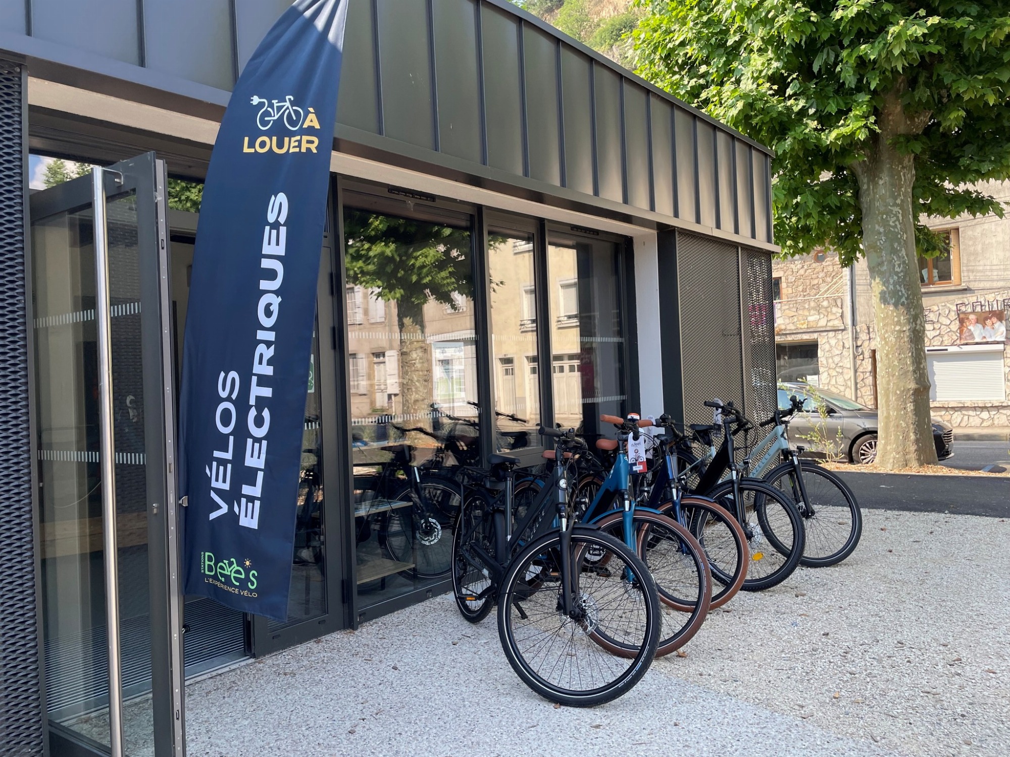
Equipment
©Cloé BarjonSerrieres
 ©Le Bateaud'Emile
Serrieres
 Michael Chardon
Serrieres
 VIA FLUVIA
Montfaucon-en-Velay