 Sylvain Bridot
The banks of the river
Champagne
Departing from Serrières, you will start with a portion of the cycle route (shared lane) over a few hundred meters which will take you on a dedicated lane to the Chemin du Rhône
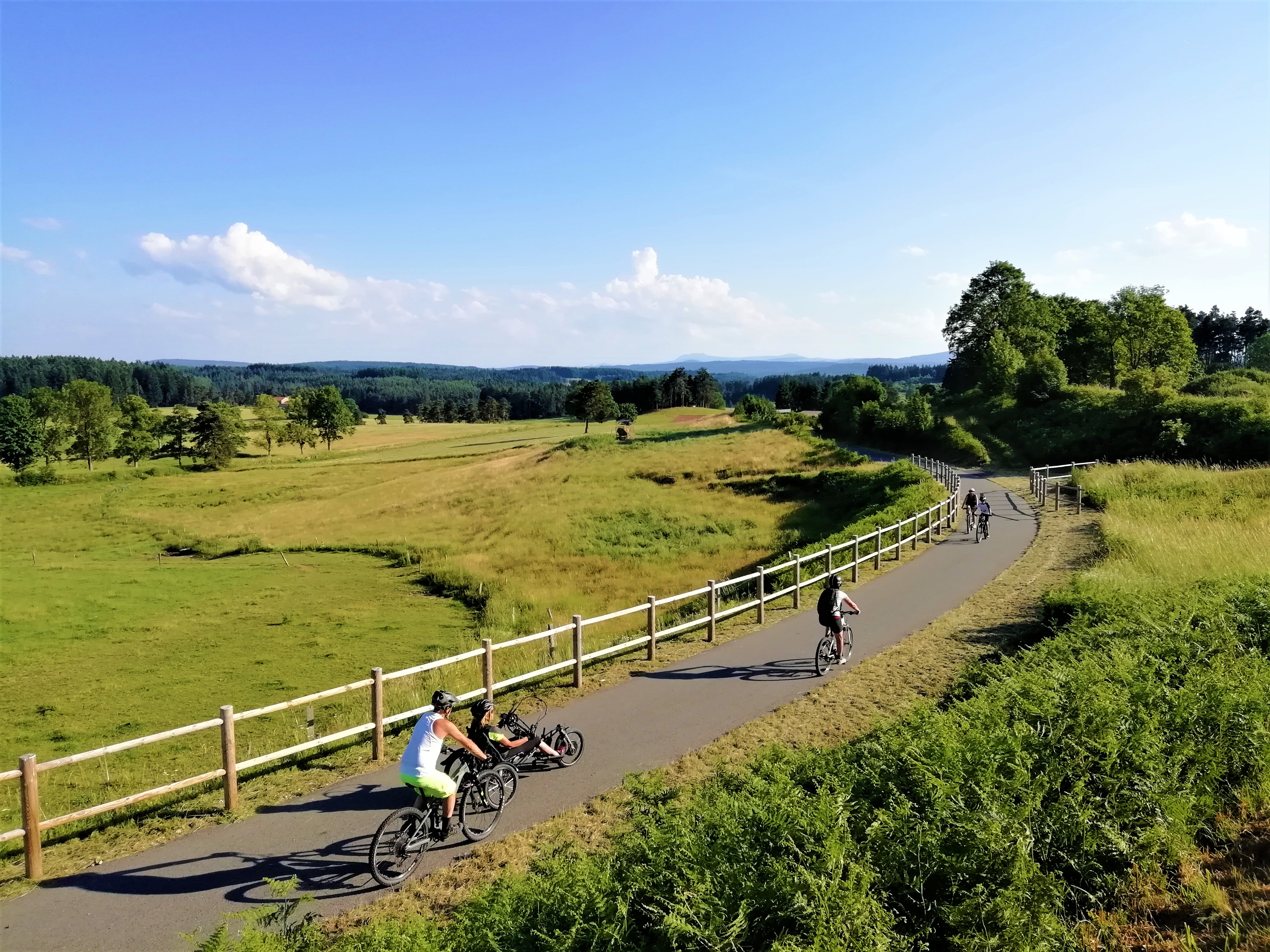
The ideal route to escape to the banks of the Rhône in just a few pedal strokes!
DEPARTURE :
- In Serrières (quai Jules Roche Sud), in front of the Tourism Pavilion
- In Champagne (traille ferry car park)
After 1.8km, the route is no longer signposted Via Fluvia, but you can continue towards Champagne following the direction of the banks of the Rhône for a connection of 7.5km in total (7m height difference) to Champagne via the banks of the Rhône, the GPX route of which can be downloaded in the practical information.
Our favorites….
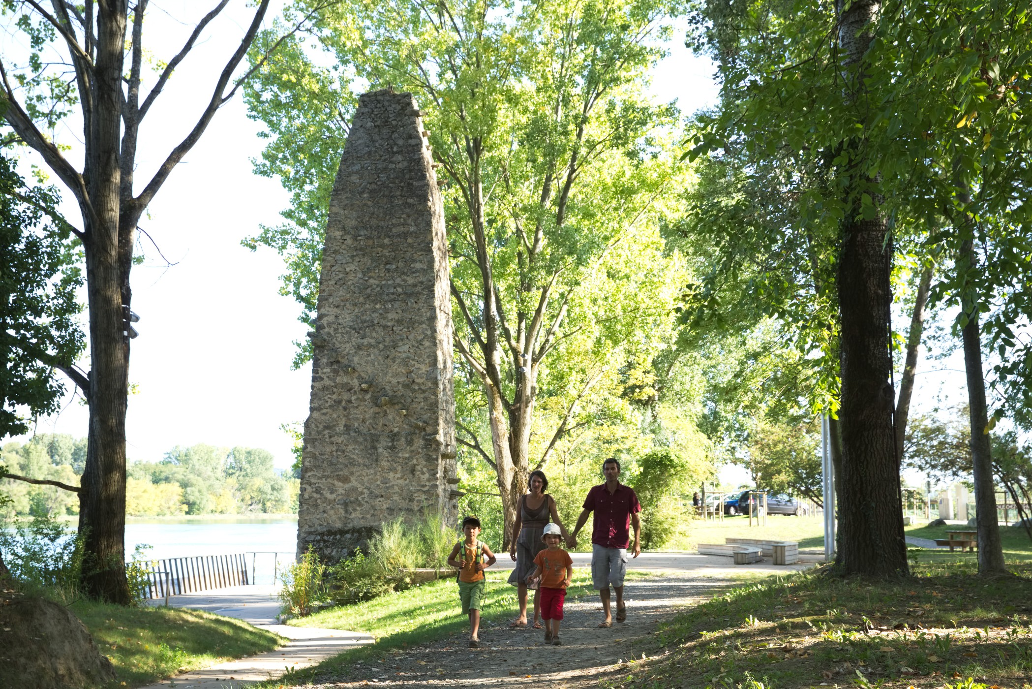
- The southern quay of Serrières
- The banks of the Rhône
- La Pile du Bac à Traille
Take a break !
A reception area on this portion:
- Serrières, quai Jules Roche: water point, WC and picnic tables
Type : Marked round trip
Distance : 7.5km
Elevation : 7m
If you leave from the town center of Serrières, here are the directions to take: - Quai Jules Roche Sud - Chemin du Rhône After 1.8km, the route is no longer signposted Via Fluvia, but you can continue towards Champagne following the direction of the banks of the Rhône.
Equipment
Sylvain BridotChampagne
 ©Cloé Barjon
Serrieres
 ©Le Bateaud'Emile
Serrieres
 Michael Chardon
Serrieres
 VIA FLUVIA
Montfaucon-en-Velay